
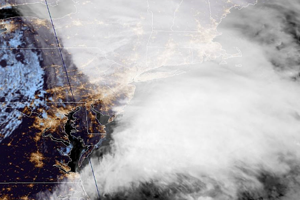
NWS Forecasts High Winds, Heavy Rainfall as ‘Bomb Cyclone’ Nears
High winds and heavy rainfall is the forecast through Thursday for New England as a bomb cyclone makes its way up from the mid-Atlantic coast.
The National Weather Service has enacted a Hazardous Weather Outlook and High Wind Advisory for Bristol County and southern Plymouth County until 6:00 p.m. Thursday night.
Southeastern Massachusetts is forecasted to see a series of thunderstorms at around 5:00 a.m. Thursday morning that could produce heavy rainfall throughout the day with wind gusts as high as 48-miles per hour. The NWS says roughly 1 to 2 inches of rainfall is expected.
Forecasters warn area residents that gusty winds could blow around unsecured objects and tree limbs could are at risk of being blown down. This could result in a few power outages throughout the area.
The NWS advises the public to use extra caution when driving, and to secure outdoor objects.
More From WBSM-AM/AM 1420