
Old Man Winter Isn’t Through With Us Yet
When Punxsutawney Phil says winter isn't over, he isn't playing around. Since Saturday night, we have already received between four to eight inches of snow along the South Coast, depending where you live. But the National Weather Service says there is still more to come.
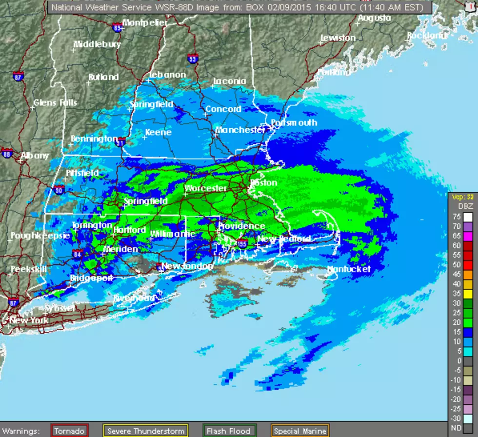
A Winter Storm Warning remains in effect until 1 a.m. Tuesday morning as snow continues to fall across the South Coast, including the cities of Fall River, New Bedford, Mattapoisett and others.
Although the heaviest snow will fall through early to mid afternoon, light snow will continue into tonight and may result in hazardous driving conditions and limited visibility of one quarter to one half mile at times.
Winds will come out of the northeast at 10 to 15 mph with gusts up to 30 mph.
Expect slow travel times on well treated surfaces. Traveling unplowed or untreated surfaces will be quite difficult.
There is a chance for yet another round of accumulating snowfall later Thursday into Friday, with the greatest snowfall hitting Eastern Massachusetts and Rhode Island.
Also, temperatures and wind chills may reach dangerously low levels Friday night into Saturday morning, then again late Sunday into Monday.
[NOAA]
More From WBSM-AM/AM 1420


