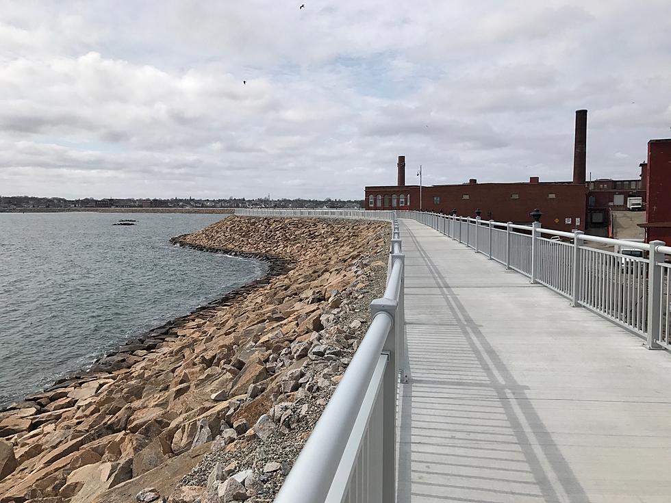
RiverWalk Will Complete New Bedford’s Blue Lane Waterfront Plan
Sometimes an evening walk is just what the doctor ordered after dinner, but you don't want to lace up the boots and do a serious trail hike.
New Bedford's HarborWalk and CoveWalk could be the answer.
Anyone who has ventured near the south of New Bedford is familiar with the hurricane barrier built in the 1960s to protect the area from hurricane surges like those that wrought flooding devastation in the past.
For decades, the unsightly boulders piled high by the Army Corp. of Engineers blocked the view of the outer harbor. Not only did the barrier rob residents of a glimpse of the water, but it created an atmosphere of confinement for many.
Mayor Jon Mitchell's Administration sought state and federal money to remedy the situation by reconnecting the waterfront to residential and commercial districts of New Bedford.

In addition to redesigning Route 18, the administration pursued funds for a HarborWalk atop the Hurricane Barrier on East Rodney French Boulevard, part of its Blue Lane plan that opens access to the waterfront "spanning the shoreline of the city."
The 3,880-foot HarborWalk opened in 2015. Two years later, the 5,550-foot CoveWalk opened along Cove Road and West Rodney French Boulevard.
When the cleanup of PCB contamination in the Acushnet River is complete, work will begin on the planned RiverWalk along the banks of the Acushnet River in the North End of New Bedford.
The RiverWalk will be a 17,000-foot recreational waterfront path on the upper harbor along the western bank of the Acushnet River north of the New Bedford-Fairhaven Bridge.
A Walk Down the Pond Trail of Easton's Borderland State Park
Take a Photo Tour of Purgatory Chasm in Sutton, Massachusetts
More From WBSM-AM/AM 1420


