New Tool Maps Birds, Fish in Offshore Wind Areas
Location, location, location.
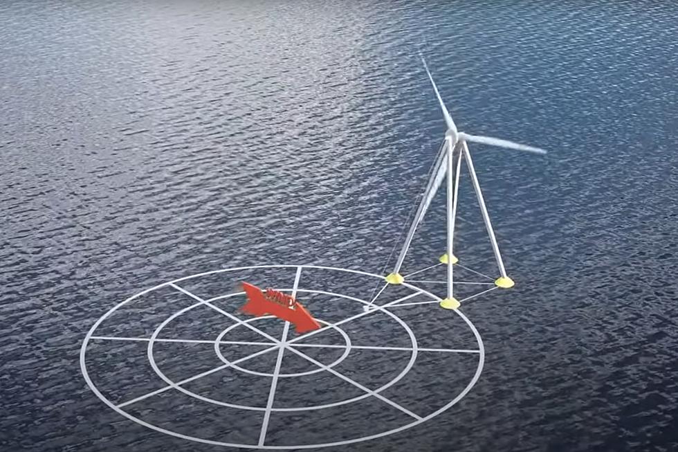
While federal and state officials eagerly pursue a rapid and significant deployment of offshore wind turbines to generate cleaner power along the East Coast, scientists and advocates on Wednesday unveiled a new mapping tool designed to give developers, regulators and the public a better sense of the natural resources below the surface in the neighborhood of proposed wind projects.
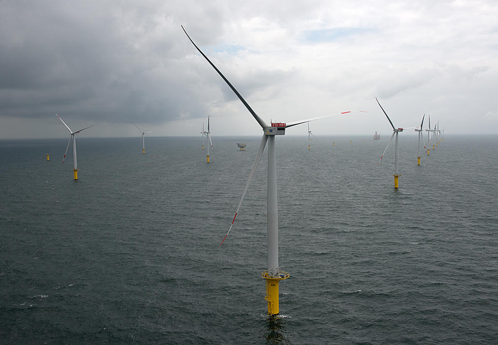
Last year, the U.S. offshore wind pipeline grew by 24 percent with more than 35,000 megawatts now in various stages of development, the U.S. Department of Energy said in its latest offshore wind market report. Massachusetts has authorized up to 5,600 MW and so far has contracted for about 1,600 MW of offshore wind power. But even before the first turbine is installed, the industry is facing headwinds from two federal lawsuits that focus on the protection of endangered species like the North Atlantic right whale and commercial fishing interests.
The marine mapping tool rolled out Wednesday by The Nature Conservancy covers the coast from Maine through North Carolina and includes information about the makeup of the seafloor, the fish and invertebrates that live near the bottom of the ocean in a given area, the marine mammals that frequent a chosen swath of ocean, the bird species that are known to be in the area and more. The tool allows a user to compare data from different times of the year and incorporates historical data as well.

"We want to ensure that renewable energy developers and regulators can accomplish our collective renewable energy goals in ways that also protect and enhance the environment. We know that as we advance our important climate goals, offshore wind should and can be built in ways that protect sensitive natural habitats and species," Deb Markowitz, state director of TNC in Massachusetts, said. "Anyone from wind energy developers to reporters can use this mapping tool to find out what species live in the neighborhood where a project is being proposed. As demand for offshore wind energy increases, the location of the turbines will become a critical factor."
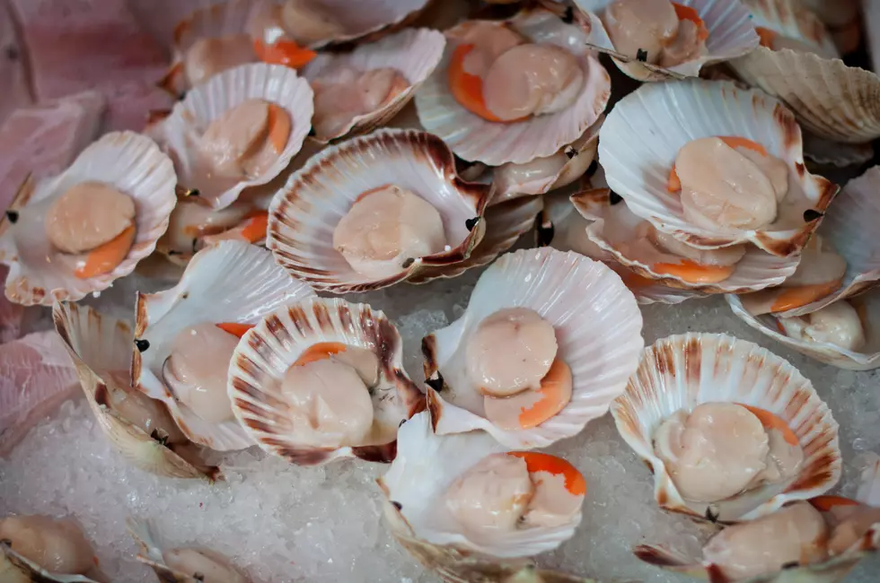
The tool allows a user to look at the several offshore wind lease areas south of Martha's Vineyard and Nantucket. For example, the lease area owned by Vineyard Wind supports 19 species of groundfish, about average for that region of the coast. Seven species – barndoor skate, scup, windowpane, little skate, summer flounder, winter skate and black sea bass – have been "persistently seen in very high levels" in the area.
The lease area also has an average concentration of marine mammals, according to the TNC tool, and "has potential for conflict" – with harbor porpoises and North Atlantic right whales.
Vineyard Wind agreed in 2019 to various measures aimed at protecting the whales, including curtailing turbine construction in the winter and early spring when North Atlantic right whales are more often in the area, monitoring the construction area to make sure whales are not near the site, dampening construction noise that may disturb the whales, and investing $3 million to develop and deploy technologies that help protect the whales.
In August, a group opposed to the Vineyard Wind I project expected to come online in 2023, Nantucket Residents Against Turbines, filed a federal lawsuit seeking to stop its construction, arguing that several federal agencies violated laws intended to protect endangered species like the right whales.
The lease area planning to host the Mayflower Wind project, which is expected to come online in 2025, supports 20 species of groundfish – barndoor skate, scup, red hake, windowpane, fourspot flounder, little skate, summer flounder, black sea bass, spotted hake, goosefish and silver hake – which the TNC tools says is "far more" than the rest of the region.
The lease area hosts fewer species of forage fish relative to the rest of the ocean in that region and, like the Vineyard Wind lease area, sees "far more" species of birds than other areas offshore, according to the TNC tool.
TNC scientists who demonstrated the tool Wednesday morning said they did not create it to highlight areas that would necessarily be better or worse than others for offshore wind developments, but instead to give developers who are eyeing a particular area a better idea of the things they should be paying close attention to.
"What we tried to do is provide you all the information so you as a user, the same way that you do with Zillow, you get all the information and you make an informed decision. We're not making decisions for you," Marta Ribera, a spatial ecologist at The Nature Conservancy who worked on the mapping tool, said. "We think of this as a decision support tool. So we're just trying to provide information so you as a user feel empowered to make those decisions about the ocean and start exploring why our blue surface is actually a lot more interesting than just a blue surface that's fully homogeneous."
— Colin A. Young, State House News Service
The 100 Best Places to Live on the East Coast
More From WBSM-AM/AM 1420