Southcoast Could Still Feel Impact Of Winter Storm
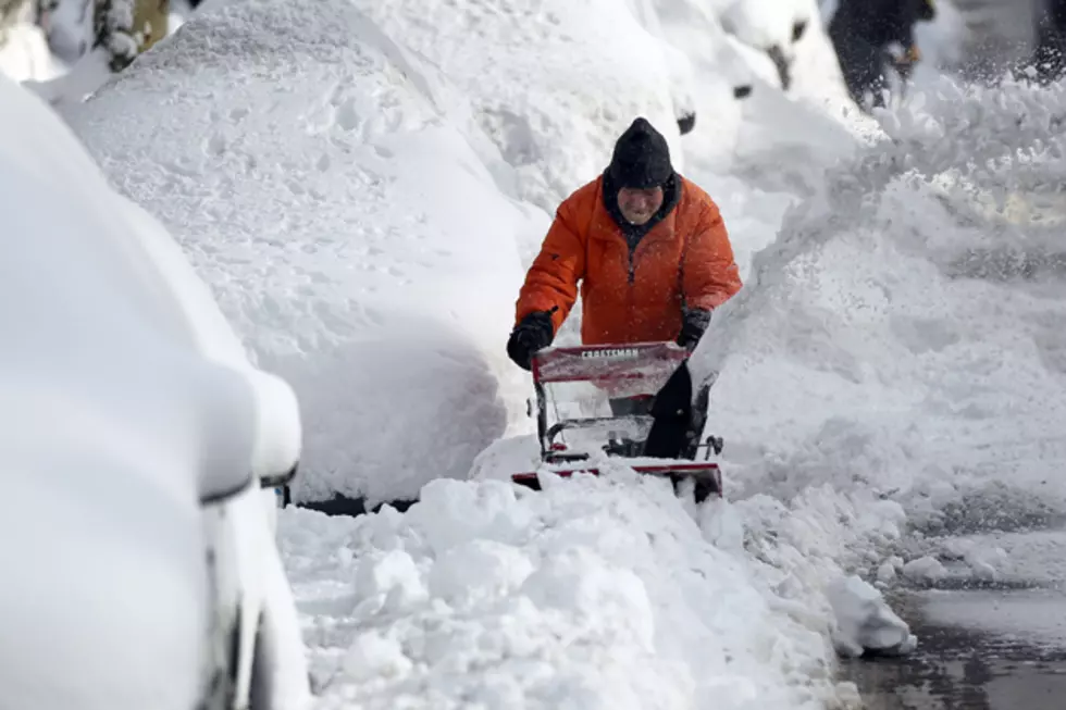
There's a major storm heading towards the East Coast this weekend and the Mid Atlantic is expected to get the worst of it.
However, M.L. Baron, of the West Island Observatory told WBSM's Phil Paleologos that doesn't mean that the Southcoast will get off the hook entirely.
As a storm comes up the coast it's actually going to get squished and be elongated off Nantucket and this is actually going to aggrevate a second formation of a secondary low pressure area and that's the one that's really going to pump in heavy precipitation, alot of snow in a short amount of time for the Soutcoast," said Baron.
Baron, also says the track of the storm hasn't been completely and some forecasters have been adjusting their snow total amounts.
"They just upped the numbers a little bit to four to seven inches now along the Southcoast and this snowline of heavy snow that they thought was just going to stay right along this area is actually going to merge north a tad more so they're not going to get away with this like they thought they were, said Baron.
The first snow flakes are expected to arrive in this area sometime Saturday afternoon and should end by Sunday morning.
More From WBSM-AM/AM 1420


